Rhine
Europe's second-longest river, flowing from the Swiss Alps to the North Sea.
Last updated

Sdkb · CC BY-SA 4.0
Where it is
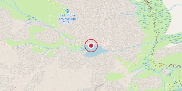
Coordinates: 46°37′59″N 8°40′19″E (46.6330, 8.6720) · Open in OpenStreetMap
Coordinates and connected clubs: the infobox of Wikipedia: Rhine (CC BY-SA 4.0). Map: drawn by Codexery from OpenStreetMap tiles.
The Rhine is a major European river, originating in the Swiss Alps within the canton of Graubünden. It traces parts of several national borders: first the Swiss–Liechtenstein boundary, then the Swiss–Austrian one. After flowing out of Lake Constance, it marks the Swiss–German border, and later much of the Franco-German line.
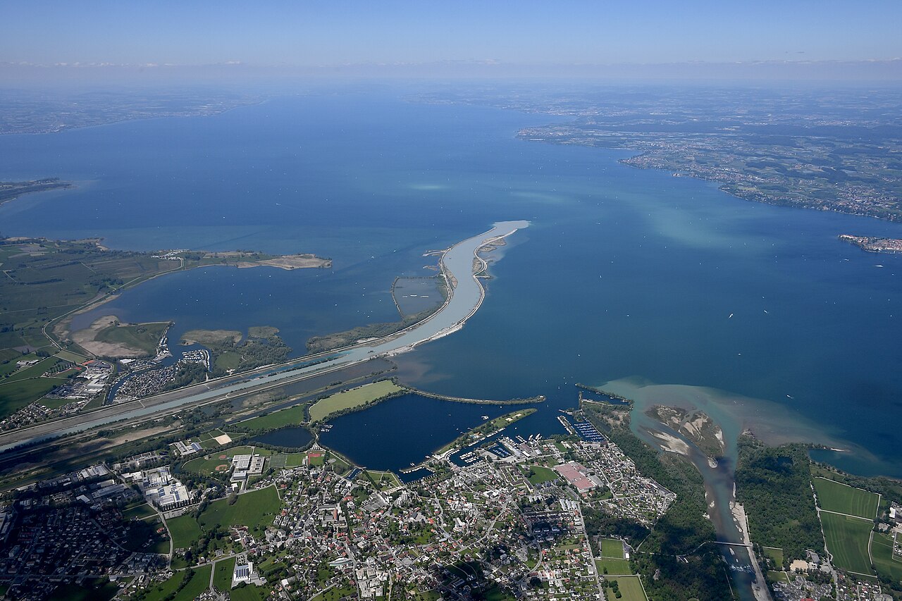
From there, it heads mostly north through Germany’s Rhineland, before turning west into the Netherlands and emptying into the North Sea. Covering a drainage basin of 185,000 km², it ranks as the second-longest river in Central and Western Europe—after the Danube—stretching about 1,230 km and carrying an average discharge of roughly 2,900 m³/s. The Rhine also boasts Europe’s most powerful waterfall, the Rhine Falls.
Lore & Background
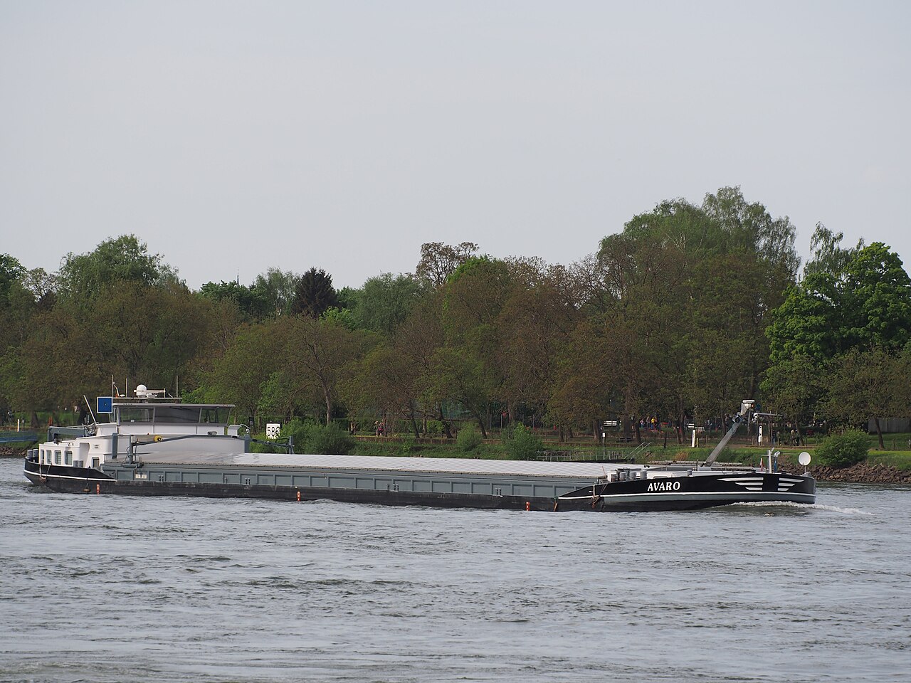
The Rhine and the Danube comprised much of the Roman Empire's northern inland boundary, and the Rhine has been a vital navigable waterway bringing trade and goods deep inland since those days. The various castles and defenses built along it attest to its prominence as a waterway in the Holy Roman Empire. Its name derives from the Gaulish Rēnos.
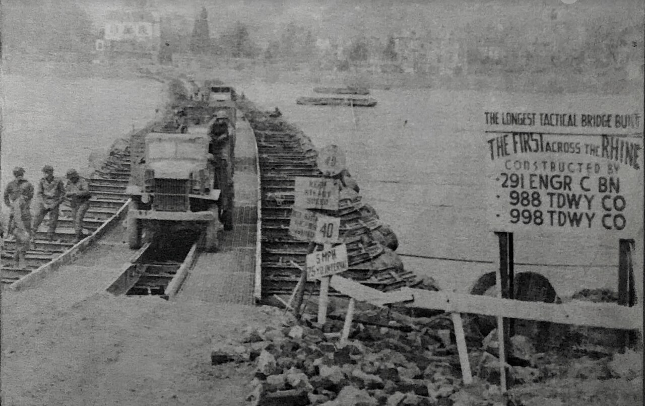
There are two German states named after the river, North Rhine-Westphalia and Rhineland-Palatinate, in addition to several districts (e.g., Rhein-Sieg). The departments of Bas-Rhin and Haut-Rhin in Alsace (France) are also named after the river. Some adjacent towns are named after it, such as Rheinau, Stein am Rhein, Rheineck, Rheinfelden (Switzerland) and Rheinfelden (Germany).
Geography & Course
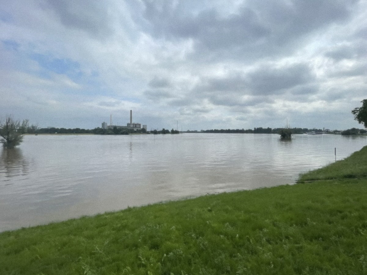
The Rhine originates in the southeastern Swiss Alps within the canton of Graubünden, where two headwater streams—the Anterior Rhine and the Posterior Rhine—converge near Reichenau in Tamins. From that Alpine starting point, the river carves a remarkable path across multiple national boundaries. It traces the border between Switzerland and Liechtenstein, then between Switzerland and Austria. Downstream of Lake Constance, it becomes the dividing line between Switzerland and Germany before going on to define much of the Franco-German frontier.
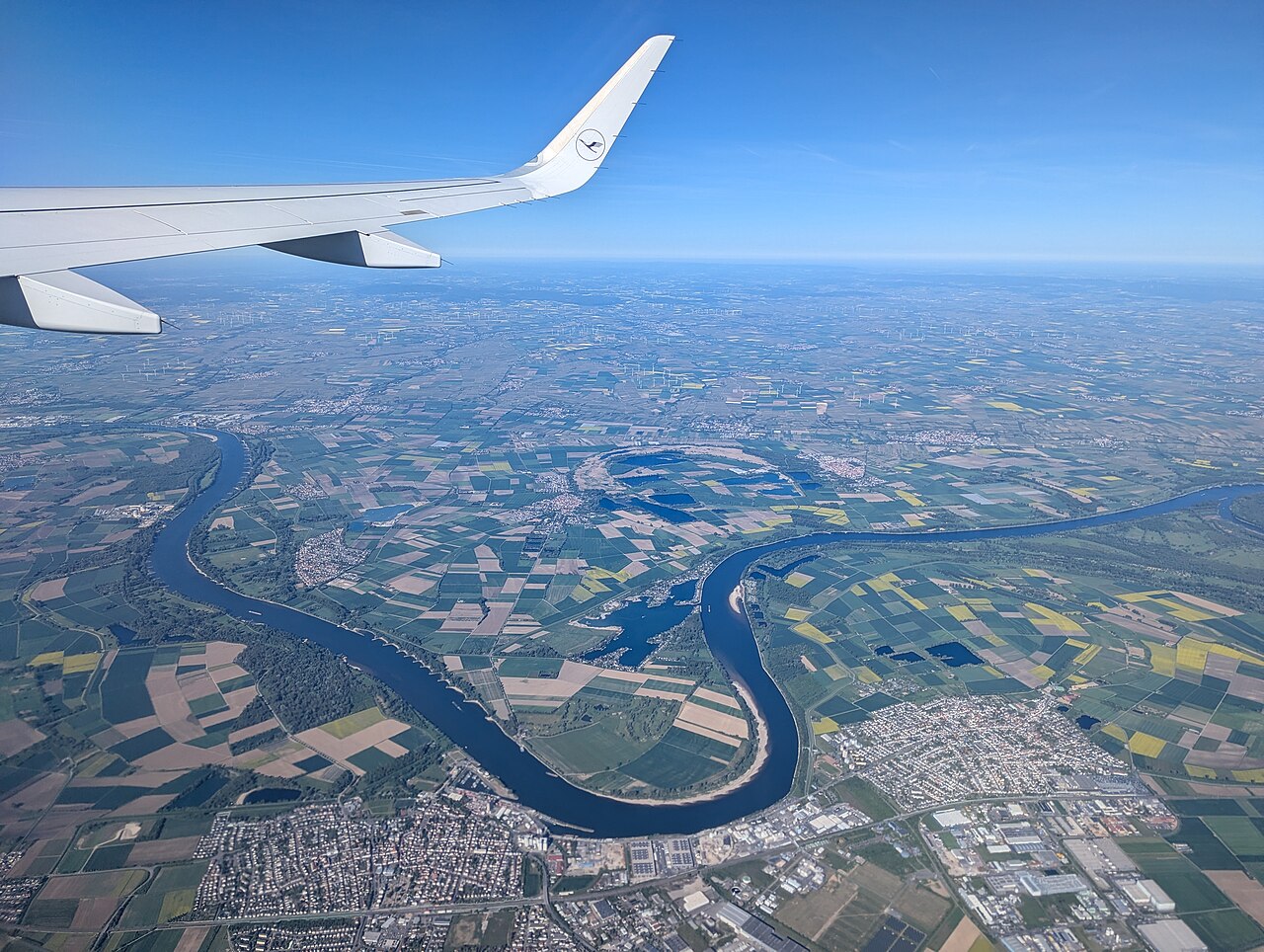
The river then sweeps in a predominantly northerly direction through the German Rhineland, and finally pivots westward into the Netherlands before emptying into the North Sea. Spanning roughly 1,230 kilometers, it is the second-longest river in Central and Western Europe, surpassed only by the Danube. Its drainage basin covers approximately 185,000 square kilometers, and its average discharge reaches about 2,900 cubic meters per second. The river also hosts the most powerful waterfall on the European continent, the Rhine Falls, a dramatic reminder of the raw alpine energy that feeds its upper reaches.
Historical & Cultural Significance
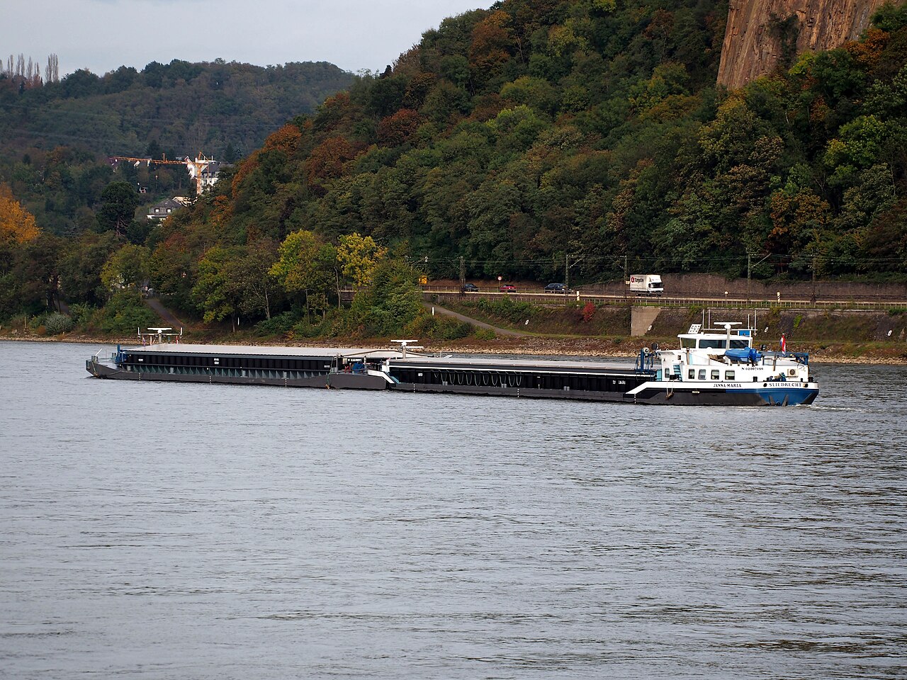
For centuries, the Rhine has served as a defining boundary and commercial artery of European civilization. Together with the Danube, it formed much of the Roman Empire's northern inland frontier, establishing the river as a strategic military and trade corridor from antiquity onward. That legacy of navigability persisted well into the medieval period, when the Holy Roman Empire erected numerous castles and defensive fortifications along its banks, underscoring its enduring value as a waterway carrying goods deep into the continent's interior. Today, the Rhine remains one of Europe's most vital shipping channels.
As of 2026, it handles approximately 6,900 vessels with a combined carrying capacity of 10 million tonnes. Major cities that have grown along its course include Cologne, Rotterdam, Düsseldorf, Duisburg, Strasbourg, Arnhem, and Basel. The river's influence extends even into political geography: two German federal states—North Rhine-Westphalia and Rhineland-Palatinate—bear its name, as do France's Bas-Rhin and Haut-Rhin departments in Alsace, along with numerous smaller towns such as Rheinau, Stein am Rhein, Rheineck, and the twin cities of Rheinfelden on either side of the border.
The Name & Linguistic Heritage
The Rhine's name carries a remarkably deep etymological lineage stretching back to pre-Roman Europe. Its modern forms across European languages all trace back to the Gaulish Rēnos, a word rooted in the Proto-Indo-European stem rei-, meaning "to move, flow, run"—the same linguistic root found in other river names such as Italy's Reno. Roman-era geographers in the first century BC adapted the Celtic name into Latin as Rhenus and into Greek as Rhēnos.
The distinctive "Rh-" spelling in English, German (Rhein), and French (Rhin) reflects the influence of Greek orthographic conventions, while the vowel sound shifted through Proto-Germanic Rīnaz into Old English Rín, Old High German Rīn, and early Middle Dutch Rijn. In modern German, the diphthongized Rhein emerged during the early modern period, whereas Alemannic dialects preserved the older, simpler vowel. The name's grammatical gender remains masculine in German, Dutch, French, Spanish, and Italian, though Old English and Old Icelandic speakers variously inflected it as either masculine or feminine.
Modern Relevance & Future Threats
While the Rhine has long symbolized European connectivity, it now faces a profound existential challenge. Scientists at the International Commission for the Hydrology of the Rhine Basin and the EUWID warn that, under continued climate change, the river could suffer a dramatic reduction in flow—or potentially dry up entirely—within the next 30 to 80 years. This projection casts a long shadow over a waterway that has sustained commerce and culture for millennia. The river's course has also been significantly altered by human engineering: a series of canalization projects completed across the 19th and 20th centuries shortened its natural path considerably.
The conventional measurement scale, known as "Rhine-kilometers," was introduced in 1939 and runs from the Old Rhine Bridge in Konstanz at the western edge of Lake Constance to the Hook of Holland at 1,036.20 km. The Dutch Rijkswaterstaat cited a total length of 1,232 kilometers in 2010, a figure that includes Lake Constance and the Alpine Rhine sections. Balancing this extensive engineered infrastructure against the looming threat of prolonged drought presents one of the most pressing environmental questions for the river's future.
Reader's Guide
The length of the Rhine is conventionally measured in 'Rhine-kilometers' (Rheinkilometer), a scale introduced in 1939 that runs from the 0 km datum at Old Rhine Bridge in the city of Konstanz, at the western end of Lake Constance, to the Hook of Holland at 1,036.20 km. The river is significantly shortened from its natural course due to a number of canal projects completed in the 19th and 20th centuries.
The 'total length of the Rhine', including of Lake Constance and the Alpine Rhine is more difficult to measure objectively; it was cited as 1232 km by the Dutch Rijkswaterstaat in 2010. Its course is conventionally divided into headwaters and sources (including the Anterior Rhine and Posterior Rhine), the Alpine Rhine, and further sections. The source of the river is generally considered north of Lai da Tuma/Tomasee on the Anterior Rhine, although its southern tributary Rein da Medel is actually longer before its confluence with the Anterior Rhine near Disentis.
Frequently Asked Questions
Where does the Rhine begin and where does it end?
It rises in the canton of Graubünden in the southeastern Swiss Alps and ultimately empties into the North Sea. Its journey takes it through or along the borders of six countries before reaching the Dutch coast.
Which countries does the Rhine flow through?
The river passes through or forms boundaries for Switzerland, Liechtenstein, Austria, Germany, France, and the Netherlands. No other single European waterway touches so many nations.
More in Rivers
Sources
Compiled from Wikipedia and the sources listed below. Text from Wikipedia is available under CC BY-SA 4.0; this entry is adapted from it.
- Wikipedia: Rhine (CC BY-SA 4.0).
Spotted an error? Know more?
Reader corrections go straight into our review queue. Suggest an edit · How this site is sourced