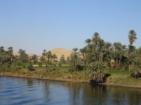
Ohio River

via Wikipedia: Ohio River · see source
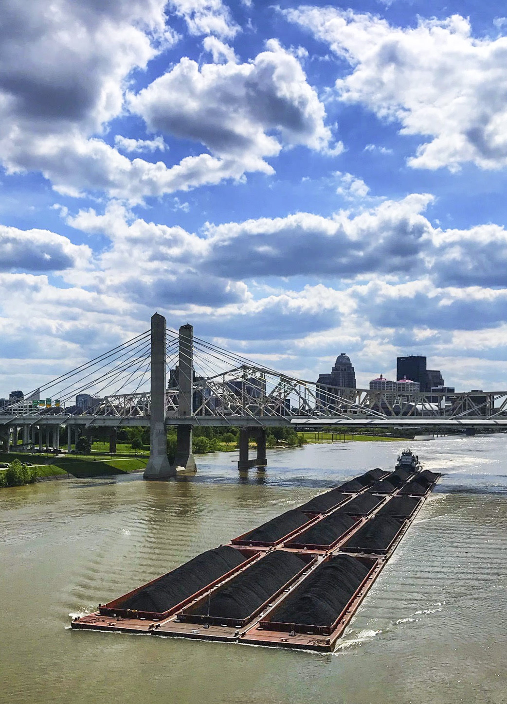
The Ohio River is a 981-mile waterway that begins in Pittsburgh, Pennsylvania, and ends at the Mississippi River in Cairo, Illinois.[1][2] Approximately five million people obtain their drinking water from the Ohio River, and its watershed extends into 14 different states.[3][2]
Quick Facts
- Length
- 981 mi / 1,579 km
- Source confluence location
- Pittsburgh, PA
- Source confluence elevation
- 730 ft / 223 m
- Mouth
- Mississippi River
Facts from the source article.
Geography and history
The Ohio River flows through or borders six states: Illinois, Indiana, Kentucky, Ohio, Pennsylvania, and West Virginia.[2] The river served as a major transportation and trading route for Native Americans for thousands of years.[4] In 1729, French architect Gaspard-Joseph Chaussegros de Léry led the first mapping expedition of the Ohio River.[5] Escaped slaves crossing the Ohio River to freedom in the North called it the "River Jordan"[6]
The Silver Bridge at Point Pleasant, West Virginia, collapsed into the river on December 15, 1967, killing 46 people.[7] According to Bright's 2004 work "Native American Placenames of the United States," the river's name originates from the Seneca term Ohi:yo', which translates to "good river."[8][9] The Lenape and Iroquois peoples viewed the Ohio and Allegheny rivers as a single continuous waterway, as noted by Stewart in "Names on the Land" (1967).[10] Through the 1768 Treaty of Fort Stanwix, the Ohio River was designated as the southern limit of American Indian territory, opening Kentucky to colonial settlement.[11]
In the period leading up to the American Civil War, the Ohio River served as a dividing line between free states and slave states, as it forms the southern border of Ohio, Indiana, and Illinois.[12]
What the cited sources add
The same source states that 20 dams managed by the Army Corps of Engineers have created slow-moving pools rather than a free-flowing river.[2] The West Virginia Humanities Council account by Forbes describes how John Peter Salling and four companions departed March 16, 1742, from near Natural Bridge, Virginia, on an expedition to the Mississippi River.[13] Forbes reports that the party built a buffalo-hide boat at New River and were the first Englishmen to explore that region.[13] Forbes also notes that Salling's account provided Virginians with their first information about previously unknown regions, including present West Virginia.[13]
Gallery
References
- Wikipedia, "Ohio River" (CC BY-SA 4.0), which cites: "Largest Rivers in the United States", United States Geological Survey (we also read that source) en.wikipedia.org
- "Quick Facts | The Ohio River". facts only, no text reused. ohioriverfdn.org
- Wikipedia, "Ohio River" (CC BY-SA 4.0), which cites: "Quick Facts | The Ohio River" (we also read that source) en.wikipedia.org
- Wikipedia, "Ohio River" (CC BY-SA 4.0), which cites: "Ohio River river, United States", Encyclopedia Britannica; McNeese, "The Ohio River", Chelsea House Publishing, 2004 (original not read by us) en.wikipedia.org
- Wikipedia, "Ohio River" (CC BY-SA 4.0), which cites: Jillson, "Big Bone Lick: An Outline of Its History, Geology and Paleontology", Standard Printing Company, 1936, p. 3; Hanna, "The Wilderness Trail", G.P. Putnam's Sons, 1911; Bogan, "Story of the Longhunters in the Beginning", History of Campbell County, Tennessee; Henderson, "The Conquest of the Old Southwest: The Romantic Story of the Early Pioneers", The Century Co, 1920, p. 116; Osmon, "The Graves of the Golden Bear: Ancient Fortresses and Monuments of the Ohio", Grave Distraction, 2011, p. 31; "The Expedition of Baron de Longueuil", Pen en.wikipedia.org
- Wikipedia, "Ohio River" (CC BY-SA 4.0), which cites: Hudson, "Crossing the "Dark Line": Fugitive Slaves and the Underground Railroad in Louisville and North Central Kentucky (excerpt)", KET's Underground Railroad: Passage to Freedom, with Kentucky Humanities Association (original not read by us) en.wikipedia.org
- Wikipedia, "Ohio River" (CC BY-SA 4.0), which cites: LeRose, "The Collapse of the Silver Bridge", West Virginia Historical Society Quarterly, October 2001 (original not read by us) en.wikipedia.org
- Wikipedia, "Ohio River" (CC BY-SA 4.0), which cites: Bright, "Native American Placenames of the United States", University of Oklahoma Press, 2004, p. 344 (original not read by us) en.wikipedia.org
- Wikipedia, "Ohio River" (CC BY-SA 4.0), which cites: Bright, "Native American Placenames of the United States", University of Oklahoma Press, 2004, p. 344; "Native Ohio", American Indian Studies; "Quick Facts About the State of Ohio", Ohio History Central; Mithun, "The Languages of Native North America", Cambridge University Press, 1999, p. 311–3 (original not read by us) en.wikipedia.org
- Wikipedia, "Ohio River" (CC BY-SA 4.0), which cites: Stewart, "Names on the Land", Houghton Mifflin Company, 1967, p. 8; (original not read by us) en.wikipedia.org
- Wikipedia, "Ohio River" (CC BY-SA 4.0), which cites: Taylor, "The Divided Ground: Indians, Settlers, and the Northern Borderland of the American Revolution", Alfred A. Knopf, 2006, p. 44, see map on 39 (original not read by us) en.wikipedia.org
- Wikipedia, "Ohio River" (CC BY-SA 4.0), which cites: Johnson, "Soul by Soul: Life Inside the Antebellum Slave Market", Harvard University Press, 2009, p. 61 (original not read by us) en.wikipedia.org
- Forbes, "John Peter Salling", West Virginia Humanities Council, October 29, 2010. facts only, no text reused. wvencyclopedia.org
Each numbered sentence above was checked against the source it cites before publication. Sentences citing Wikipedia adapt text from the English Wikipedia article Ohio River (contributors), used under CC BY-SA 4.0; this entry is available under the same licence. Other sources were used for facts only; no text or images are copied from them.
More in Rivers Of The World
Spotted an error? Know more?
Reader corrections go straight into our review queue. Suggest an edit · How this site is sourced