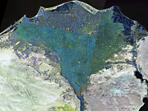
Kom el-Hisn
Last updated
Where it is
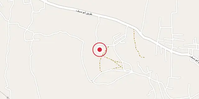
Coordinates: 30°47′46″N 30°36′00″E (30.7960, 30.6000) · Open in OpenStreetMap
Coordinates and connected clubs: the infobox of Wikipedia: Kom el-Hisn (CC BY-SA 4.0). Map: drawn by Codexery from OpenStreetMap tiles.
Kom el-Hisn (كوم الحصن Kawm el-Ḥiṣn) is a Nile Delta settlement with origins in the Old Kingdom and continued occupation into the Middle Kingdom. Its location in the 3rd nome of Lower Egypt, along with faunal and textual evidence, suggests it played a role in transporting cattle between regions. The site is notable for its temple dedicated to Sekhmet-Hathor and the Tomb of Khesuwer, which indicate a focus on the goddess Hathor.
Quick Facts
- Nome
- 3rd nome of Lower Egypt
- Nome name
- House of the Lord of Ships (pr nb jmu)
- Deity
- Hathor (as Sekhmet-Hathor)
- Periods
- Old Kingdom
- Middle Kingdom
- First Intermediate Period
- Key find
- Tomb of Khesuwer
- Excavator (initial)
- Flinders Petrie
- Excavation year (initial)
- 1881
Facts from the source article.
Excavation history
Flinders Petrie first uncovered the site in 1881 during his work at Naukratis. Francis Llewellyn Griffith surveyed it from 1885 to 1887, recording a mudbrick temple, an enclosure wall, and four statues of Ramesses II; two of these bore inscriptions dedicating them to Sekhmet-Hathor, “Mistress of Imu.” The temple and enclosure wall have since been destroyed. Two of the statues remain at the site, and one was moved to the Cairo Museum.
In 1902 Georges Daressy found two broken colossi of Amenemhat III later usurped by Ramesses II, and four blocks originally inscribed for Ramesses II but later usurped by Shoshenq II and reused for a chapel. The Tomb of Khesuwer, a priest of Hathor, was excavated in 1910 by Campbell Cowan Edgar; it contained a stone head of a 12th Dynasty Pharaoh wearing the white crown of Upper Egypt and a damaged statue group of Amenemhat III. In the early 1940s, mudbrick tombs were exposed after heavy rainfall.
From 1943 to 1949, El-Amir, Farad, and Hamada excavated a large necropolis of over one thousand graves, ranging from lower- to upper-class burials. Most were simple sand-pit burials; some contained blades and were labeled the “warrior group.” The 1946 and 1948 excavations revealed many “pot-burials” with children’s remains, as well as family tombs or mass graves. The majority of graves date to the First Intermediate Period and Middle Kingdom. The excavation was not fully published, and no maps or field notes survive.
Yamu
Yamu, also called Imu, was the capital of the 3rd Nome of Lower Egypt and appears in texts from the 5th Dynasty onward, though its exact location is unknown. Inscriptions on statues found at Kom el-Hisn, including an offering table to Sekhmet reading “the mistress of Yamu, Sekhmet,” have led to the theory that Kom el-Hisn is the site of Yamu. However, no concrete evidence proves the identification.
More in Nile Delta
Sources
Compiled from Wikipedia and the sources listed below. Text from Wikipedia is available under CC BY-SA 4.0; this entry is adapted from it.
- Wikipedia: Kom el-Hisn (CC BY-SA 4.0).
Spotted an error? Know more?
Reader corrections go straight into our review queue. Suggest an edit · How this site is sourced