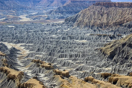
Point bar
Crescent-shaped alluvial deposit on the inside of stream bends.
Last updated

United States Geological Survey · via Wikipedia: Point bar · Public domain
It consists of coarse sand, gravel, and polished stones swept across the stream floor by secondary vortex flow.[1][2] Inside a stream bend, a sedimentary deposit known as a point bar forms.[3][1]
Quick Facts
- Type
- Depositional landform
- Composition
- Well-sorted sediment
- including sand
- gravel
- and polished stones
- Location
- Inside bend of streams and rivers
- Associated process
- Secondary flow in vortex flow
Facts from the source article.
Key facts and history
Water flowing around a bend creates vortex flow, where speed is fastest where the radius is smallest.[3] In the boundary layer along the stream floor, secondary flow moves water toward the inside of the bend.[1] This secondary flow sweeps and rolls loose particles such as sand, gravel, and small stones toward the point bar.[1] Point bar materials are not deposited from suspension but are rolled into place by the secondary flow.[2]
The secondary flow can be intensified by reflection from an irregular, scoured opposing bank.[2] In low-gradient meandering streams, coarse sand and gravel cannot be held in suspension because the water moves slowly and has low turbulence.[2]
What the cited sources add
Bowker further explains that these materials are swept and rolled into place by secondary flow, not carried in suspension.[2] The 2002 paper by Chant in Journal of Geophysical Research and the 2003 encyclopedia by Hickin describe the secondary flow in the boundary layer as moving partly across the floor toward the inside of the bend.[1] Bowker's 1988 Earth Sciences History article explains that in low-gradient, settled parts of a watercourse, the water's slow speed and low turbulence prevent it from suspending coarse sand and gravel.[2] Hickin's 2003 encyclopedia entry notes that any fluid, including stream water, can only navigate a bend through vortex flow.[3]
References
- Wikipedia, "Point bar" (CC BY-SA 4.0), which cites: Chant, "Secondary circulation in a region of flow curvature: Relationship with tidal forcing and river discharge", Journal of Geophysical Research, 2002, p. 14-1–14-11; Hickin, "Encyclopedia of Sediments and Sedimentary Rocks", Springer }} {{ISBN, 2003, p. 432 (original not read by us) en.wikipedia.org
- Wikipedia, "Point bar" (CC BY-SA 4.0), which cites: Bowker, "Albert Einstein and Meandering Rivers", Earth Sciences History, 1988, p. 45 (original not read by us) en.wikipedia.org
- Wikipedia, "Point bar" (CC BY-SA 4.0), which cites: Hickin, "Encyclopedia of Sediments and Sedimentary Rocks", Springer }} {{ISBN, 2003, p. 432 (original not read by us) en.wikipedia.org
Each numbered sentence above was checked against the source it cites before publication. Sentences citing Wikipedia adapt text from the English Wikipedia article Point bar (contributors), used under CC BY-SA 4.0; this entry is available under the same licence. Other sources were used for facts only; no text or images are copied from them.
More in Geomorphology
Sources
Compiled from Wikipedia and the sources listed below. Text from Wikipedia is available under CC BY-SA 4.0; this entry is adapted from it.
- Wikipedia: Point bar (CC BY-SA 4.0).
Spotted an error? Know more?
Reader corrections go straight into our review queue. Suggest an edit · How this site is sourced