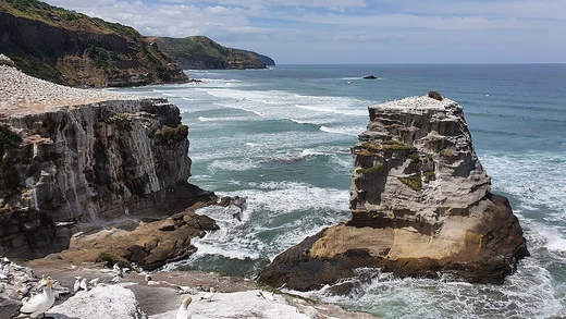
Cape Lopatka
Southernmost point of Kamchatka, site of a 64 m tsunami.
Last updated

via Wikipedia: Sea of Okhotsk · see source
Cape Lopatka is the southernmost point of the Kamchatka Peninsula in Russia.
Quick Facts
- Location
- Southernmost point of Kamchatka Peninsula, Russia
- Earthquake magnitude
- 9.0–9.3 MW
- Climate type
- Polar (Köppen Dfc/ET)
- Mean annual temperature
- 2.0 °C (35.6 °F)
Facts from the source article.
Background
Cape Lopatka lies at the southern tip of the Kamchatka Peninsula, with the rural locality of Semenovka at its southernmost point. It is situated about 11 km north of Shumshu, the northernmost island of the Kuril Islands. The cape also marks the northernmost area of habitation by the Ainu people.
Also in the Codexery
More in Coastal And Marine Features
Sources
Compiled from Wikipedia and the sources listed below. Text from Wikipedia is available under CC BY-SA 4.0; this entry is adapted from it.
- Wikipedia: Cape Lopatka (CC BY-SA 4.0).
Spotted an error? Know more?
Reader corrections go straight into our review queue. Suggest an edit · How this site is sourced
Comments
Loading…