Slavutych
Last updated
Where it is
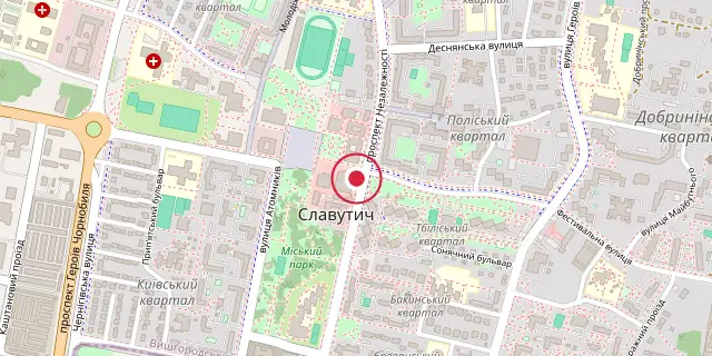
Coordinates: 51°31′16″N 30°45′25″E (51.5210, 30.7570) · Open in OpenStreetMap
Coordinates and connected clubs: the infobox of Wikipedia: Slavutych (CC BY-SA 4.0). Map: drawn by Codexery from OpenStreetMap tiles.
Slavutych is a city in northern Ukraine that was purpose-built for the evacuated personnel of the Chernobyl Nuclear Power Plant after the 1986 disaster. It was planned as the replacement for Pripyat, and its first inhabitants settled in October 1988. In 2024 about 20,000 people lived there.
Last updated 2026-09-29 from the source article.
Background
The decision to build a new city was announced by the newly appointed director of the plant in an interview with Pravda published on 10 October 1986, and construction started shortly afterwards. The site lies about 50 kilometers east of the former plant, on the left bank of the Dnieper River.
It was chosen to be a reasonable distance from the contaminated zone, and also because a railroad and a water supply were close at hand. Before building began the ground was covered with a two-meter layer of uncontaminated soil. The city takes its name from the Old Slavic name for the Dnieper River, and it was the last city built by the USSR.
Most residents are survivors of the disaster who had to be relocated, among them about 8,000 people who were children at the time. Many still work at the site of the former plant in monitoring, maintenance or research, commuting on a rail line that runs directly from the city to the plant and crosses the border with Belarus twice.
More in Places
Elsewhere in Chernobyl Disaster
Sources
Compiled from Wikipedia and the sources listed below. Text from Wikipedia is available under CC BY-SA 4.0; this entry is adapted from it.
- Wikipedia: Slavutych (CC BY-SA 4.0).
Spotted an error? Know more?
Reader corrections go straight into our review queue. Suggest an edit · How this site is sourced